The U.N. backs a new world map showing Africa in its true relative size

Daftar Isi
U.N. General Assembly Votes to Redraw Africa’s Place on the World Map
Ecorescuezone.com – In a vote that split the chamber along a familiar geopolitical fault line, the United Nations General Assembly on Friday approved a resolution urging the global community to rethink how continents are depicted on standard world maps. The measure, known as the “Correct the Map” resolution, passed with 164 votes in favor, one against, and six abstentions. The sole dissenting vote came from the United States.
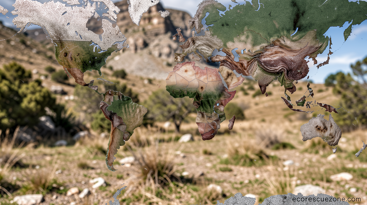
The resolution was tabled by Togo acting on behalf of the African Group of states and carried the backing of the African Union. Its central aim is to encourage governments, schools, media outlets, and international bodies to adopt equal-area map projections—most notably the Equal Earth projection—so that the relative sizes of land masses are rendered with greater fidelity.
What the Resolution Does—and Does Not—Require
It is important to understand the limits of the measure. The resolution carries no legal force. No nation is compelled to scrap existing maps, and no institution must discard the Mercator projection, which has dominated cartography for nearly five centuries. What the text does is promote a shift in preference: it calls for wider adoption of projections that preserve area at the expense of shape, thereby giving Africa, South America, and other equatorial regions their proper visual weight.
Before the vote, Togo’s Foreign Minister Robert Dussey framed the issue in broader cultural terms, arguing that cartographic choices carry consequences far beyond the technical:
“Maps shape our understanding of the world. They guide education, nourish the imagination, and influence collective perceptions.”
The Equal Earth Projection: Origin and Design
The projection at the heart of the campaign was developed in 2018 by Tom Patterson, a former senior cartographer with the U.S. National Park Service, together with colleagues Bojan Šavrič and Bernie Jenny. Their goal was straightforward: produce a world map in which every square centimeter on the page corresponds to the same number of square kilometers on Earth, eliminating the inflation of polar regions that plagues older projections.
The trade-off is shape. Equal Earth distorts the outlines of continents—Africa looks somewhat compressed, Greenland loses its familiar elongated form—but the areas remain truthful. For a classroom or a policy briefing, that trade-off, proponents argue, is worth making.
Why the Mercator Projection Distorts
The Mercator projection was devised in 1569 by the Flemish cartographer Gerardus Mercator. Its genius lay in navigation: it preserves angles, allowing a sailor to plot a course as a straight line on the chart while maintaining a constant compass bearing. For centuries of oceanic exploration, that property made it indispensable.
But the same mathematical trick that keeps angles true inflates area as latitude increases. Greenland, which is roughly four times the size of Africa in reality, appears comparable to or larger than the African continent on a Mercator chart. Canada and Russia swell toward the top of the page while equatorial nations shrink. The distortion is not a bug; it is an inherent consequence of the projection’s design.
Patterson has spoken publicly about the problem. In a conversation last year, he noted:
“If you’re using the Mercator map as a world map, say, in the classroom, students would just have a completely warped view of the size of countries in the world.”
Washington’s Opposition
The United States voted against the resolution and issued a pointed statement afterward. Yaryna Ferencevych, deputy U.S. representative to the U.N. Economic and Social Council, characterized the measure as an ideological distraction from substantive work:
“Resolutions like this and the ideological agenda they promote, are barnacles on our work here, and the reason this institution is losing its credibility.”
The framing suggests Washington views cartographic preference as a low-stakes symbolic gesture rather than a meaningful correction of a visual bias that has shaped generations of learners. The six abstentions—whose identities were not specified in the vote record—fell between the two poles.
Reactions from Africa and the Projection’s Creators
The African Union, which has championed the Correct the Map campaign for years, issued a statement on X celebrating the outcome:
“Today’s resolution promotes equal-area maps like Equal Earth across classrooms, media, and international institutions, ensuring the world map finally reflects Africa’s true scale, weight, and place in the world.”
Carlos Lopes, a professor at the University of Cape Town and one of the campaign’s most visible academic advocates, posted on X after the vote: “164 votes in favour! This is an emotional day for me.”
Patterson himself expressed astonishment at seeing the projection enter formal U.N. discourse. Writing on social media, he recalled the 2018 collaboration:
“Wow. When we [Bojan Šavrič and Bernie Jenny] created the Equal Earth projection in 2018, we never imagined this.”
Implications for Education and Global Perception
The practical effect of the resolution will unfold slowly, if at all. No textbook publisher is obligated to reissue its atlases, and no national curriculum board must revise its geography syllabus overnight. Yet the resolution creates a diplomatic and rhetorical benchmark: any institution that continues to present only Mercator-based maps can now be pointed to a U.N.-endorsed alternative.
For students in Lagos, Nairobi, Accra, or Johannesburg, the map on the classroom wall has long been a quiet lesson in relative insignificance. Africa, home to 1.4 billion people and the largest continental landmass after Asia, has been visually minimized for generations by a projection designed for 16th-century sailors. The resolution does not erase that history, but it gives educators, publishers, and policymakers a clear, internationally sanctioned reason to choose a different image of the world—one in which every continent occupies its true share of the page.
Related Reading
Frequently Asked Questions
What is The U N backs a new world?
The U N backs a new world is the main topic of this guide. The article explains the context, practical details, and next steps readers should understand.
Why does The U N backs a new world matter?
The U N backs a new world matters because readers are looking for a useful answer, not just a short summary. Good content should match search intent and help them decide what to do next.